The UN's Equal Earth Map Resolution Has Chinese Social Media Rethinking the World
A UN General Assembly resolution encouraging countries to drop the 400-year-old Mercator projection in favour of the Equal Earth map — the United States the lone reported 'no' vote — trended on Chinese social media this week, where users argued the change corrects a centuries-old visual distortion of Africa and the global south.
The viral phrase on Chinese social media was simple: "The UN has released a new world map." What actually happened is more interesting — and the distinction is where this week's debate lives.
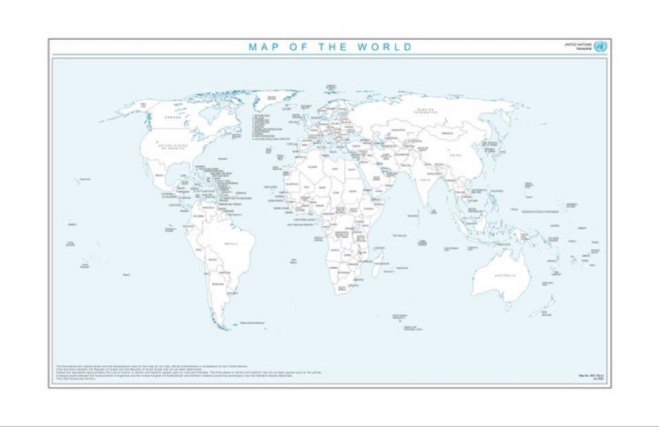
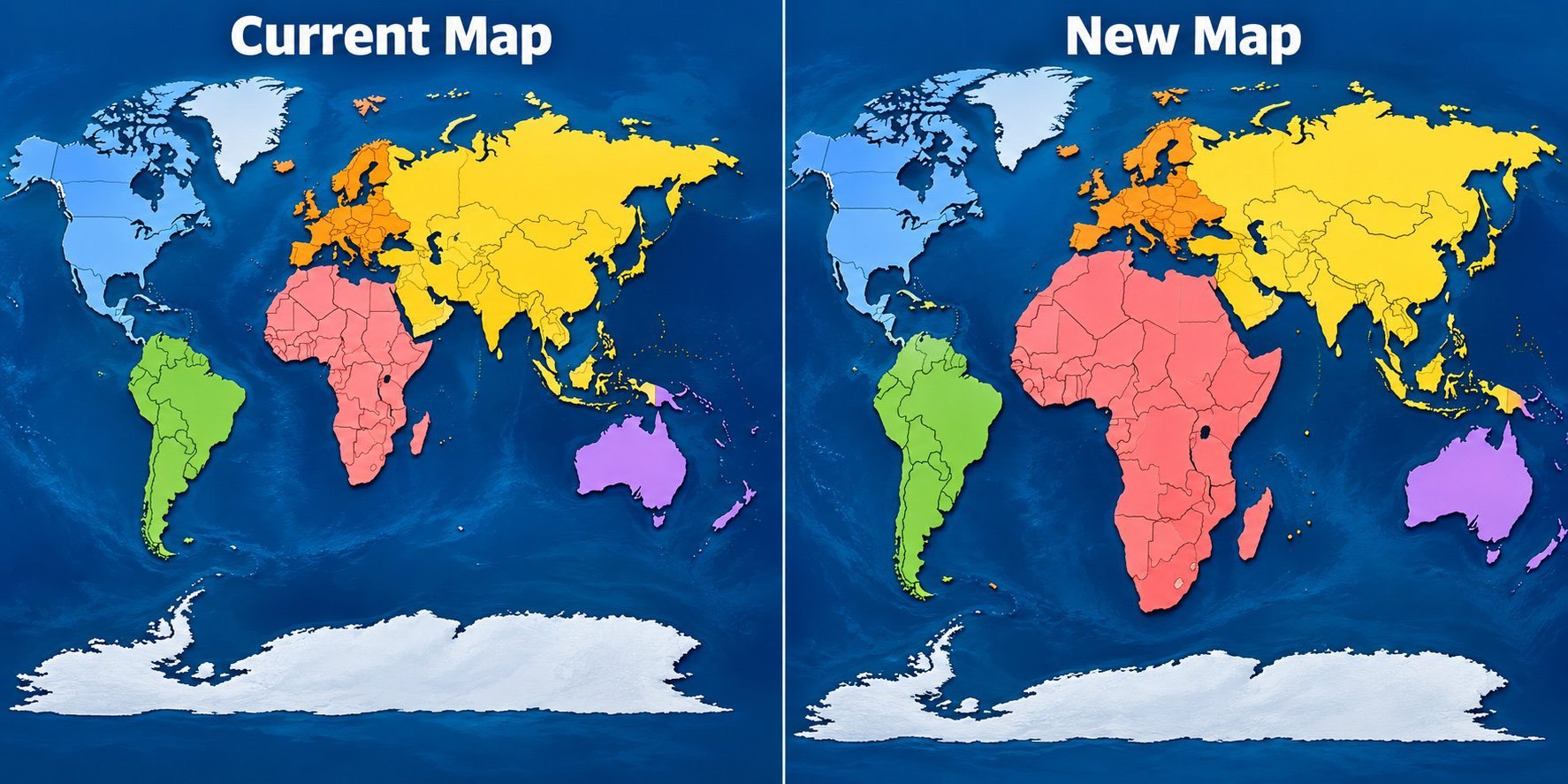
On September 4, the UN General Assembly passed a resolution, introduced by Togo and backed by the African Union, encouraging governments, schools and technology companies to stop using maps drawn in the Mercator projection and adopt the Equal Earth projection developed in 2018. The resolution passed by an overwhelming majority, with the United States reportedly the only member to vote against it. Mercator, devised by the Dutch cartographer Gerardus Mercator in 1569 for ocean navigation, stretches landmasses ever larger as they approach the poles — which is why on most classroom walls Africa appears roughly the same size as Greenland, when in reality it is about fourteen times larger.
From serving navigation to serving cognition
On Weibo, where the topic drew thousands of discussions, the most shared post — liked more than 2,300 times — put the change plainly: "The new world map reflects the relative areas of countries truthfully." A popular thread by a mapping enthusiast went further, laying out exactly where each projection should now be used: Equal Earth for school and university textbooks, museum and library displays, and books or websites aimed at the general public; Mercator retained for maritime and aviation navigation and specialist GIS systems, where its preservation of compass bearings remains genuinely useful. "The change in the world map is essentially a shift from serving navigation to serving cognition," the post read — "correcting a centuries-old visual lie."
That framing — a "visual lie" — is where the Chinese discussion connected to the resolution's geopolitical subtext. Commenters noted that Mercator's distortions systematically inflate Europe and North America while shrinking Africa and South America, and read the vote less as a technical standards decision than as a statement about who gets to draw, and be drawn large on, the picture of the world. The reported detail that the US cast the sole "no" vote circulated widely, with users debating whether the objection reflected practical attachment to existing standards or discomfort with the resolution's postcolonial framing. On Zhihu, the leading question on the topic asked what "geopolitical and cultural demands" lay behind the map dispute, drawing answers on decolonial cartography and the politics of school atlases.
A map is an argument
Chinese social media has a particular sensitivity to map graphics: the country's regulators have long treated maps as matters of sovereignty, and "wrong maps" (错误地图) that misdraw borders are a recurring scandal for brands and publishers. The Equal Earth debate resonated against that backdrop — a reminder that cartography is never neutral, and that the same lines can serve an emperor's fleet or a decolonising coalition.
Mercator will keep its grip on phone apps and ship bridges for years; a UN recommendation does not redraw anything by itself. But if textbook publishers follow, the next generation's mental world map will show Africa as the continent-sized landmass it is — a small change in projection with a long shadow.